laser scanninga point cloud as a base
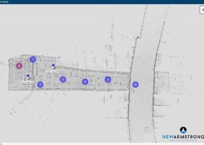
A point cloud or point cloud is the result of a three-dimensional measurement with a laser scanner. A laser scanner measures by firing laser beams at its surroundings with a 360 degree range and receiving it back. By measuring the difference in reflection time, the laser scanner can determine the distance. By combining different measuring positions, a complete point cloud is created.
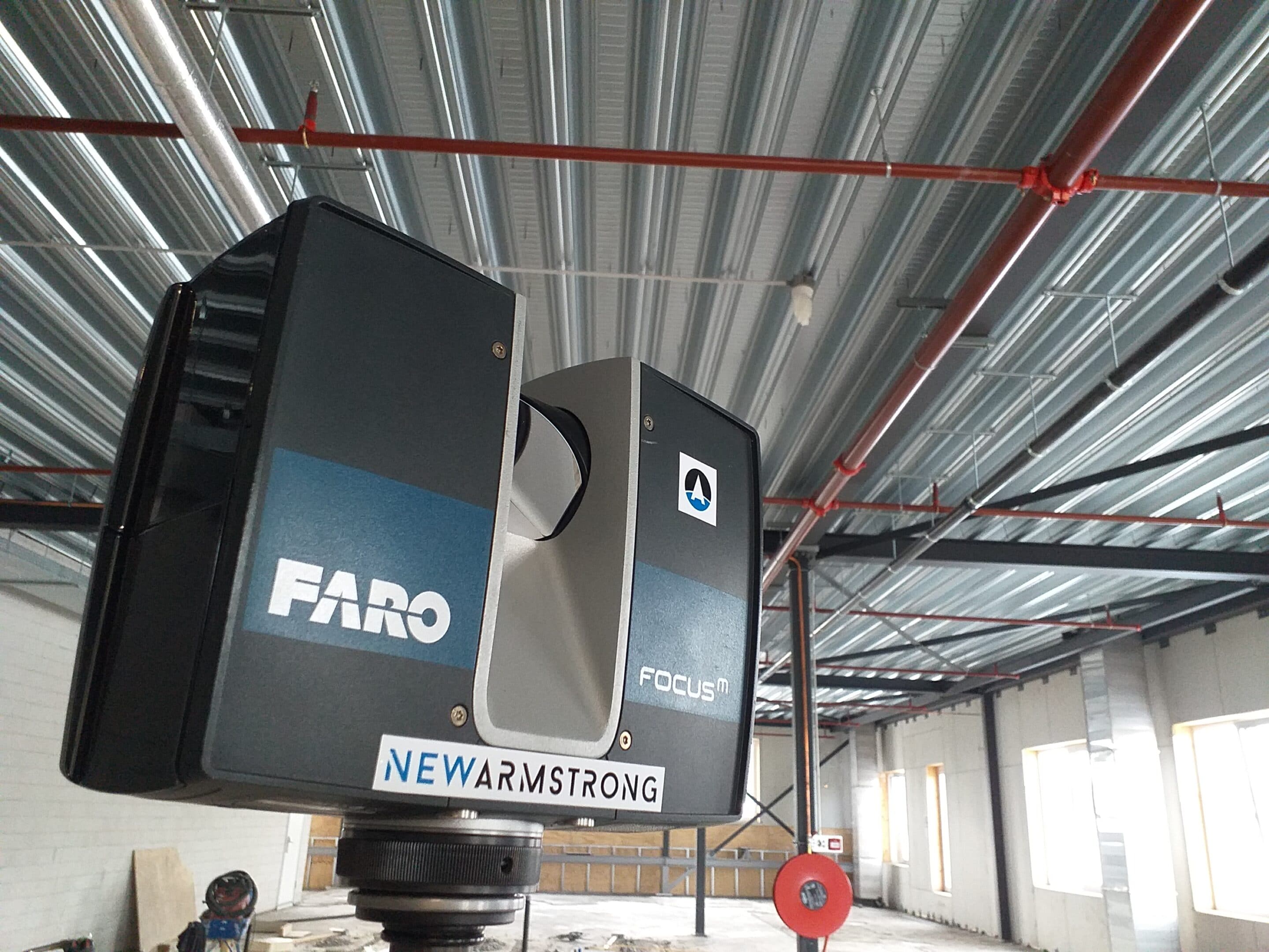
NewArmstrong uses Faro Focus laser scanners. Faro Focus laser scanners have a long range with high precision. In addition, they are lightweight, which means they can be used in many positions. Also, the Faro scanners can already send information to the Webshare during the scan so that the pairing can already start while the scan is still in progress. This allows us to make optimal use of the available capacity and resources.
See here the specifications of the Faro Focus laser scanners.
Laser scanning and working speed
The operating speed during scanning is determined by a number of variables.
>The situation: is the situation freely accessible with a flat floor? Then scanning is fast. If it is a room full of obstacles (racks or storage of building materials), scanning will be slower/
>Is the building wind and watertight? This is especially important because a laser scanner does not see a puddle on the floor as a surface, but measures the reflection. That information has to be manually removed later. So if a building is dry or wind and watertight, scanning is much more efficient.
>Scan in color or black and white. Black and white is faster, but sometimes color offers a lot of information about the background or material.
>The resolution of scanning. By accepting a lower resolution, scanning is faster, but also less precise.
Laser scanning: range versus precision.
A laser scanner can have a range of up to 350 meters. However, the further the range, the less precise the scanning surface. To scan very precisely, shorter distances are needed and therefore more measuring positions.
To give an example: for a NEN-2580 measurement of a cinema, a large measuring distance is fine: after all, it is about the surface and height, not a detailed pipe course of a sprinkler, for example. For an application to make a model of that cinema to draw in a new interior, the exact pipe course of the sprinkler is important and we will scan with a higher precision.
interesting facts
measurements per year
Trained scan operators
Minutes per scan position
point clouds
A point cloud is not yet a 3d model, but it is a three-dimensional representation of the environment in which you can work. Point clouds are often large files. To unlock these for use, there are several viewers that can be used, including some where it is not necessary to download the pointcloud. See are made accessible via a cloud service.
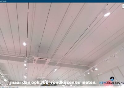
A Webshare is pleasant to work with: it resembles a kind of ‘Google Maps’ to look around. This makes it possible to move from scan position to scan position and look at those positions in all directions.
Pointclouds can also be downloaded for use in software such as Autodesk Revit, Navisworks or Archicad.
See links to the software to view pointclouds here:
Would you like to know how best to deal with point clouds? Our 3d scan specialist Erik de Jong can explain everything about this.

Related projects
Want to have your rocket science more simple?Feel free to contact us.
Erik de Jong
Leidsevaartweg 1
2106 NA Heemstede
+31 6 23225889
